

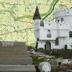
1500-year old mound built by Indigenous Peoples of the Mississippi River Delta’s Yakni Chitto, Picou Cemetery, Terrebonne Parish, Louisiana
Share This


Print This
Email This
Portfolio: Lost Treasure Maps
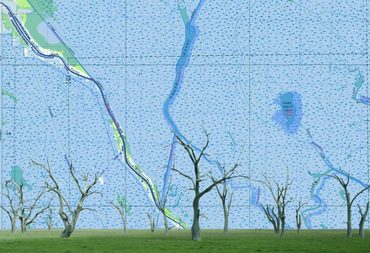
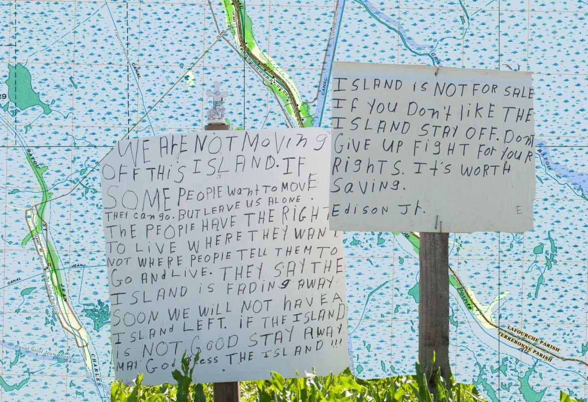
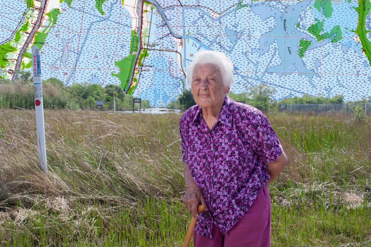
South Louisiana is losing land at one of the fastest rates in the world due to rising seas and sinking soils. The Lost Treasure Map series collages United States Geological Survey maps from the 1920s, 1930s, and 2000s with portraits of people and images of artifacts found within the Houma Nation’s Yakni Chitto, the Big Country, a territory located between the Mississippi and Atchafalaya Rivers. Maps and images layer evidence of South Louisiana’s rapidly changing landscapes, waterways, and lifeways as names are erased or renamed and indigenous communities are forced to adapt.
-
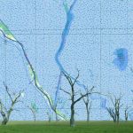
- Pointe Aux Chenes, Point of the Oaks, Louisiana
-
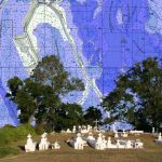
- 1500-year old mound built by Indigenous Peoples of the Mississippi River Delta’s Yakni Chitto, Picou Cemetery, Terrebonne Parish, Louisiana

-
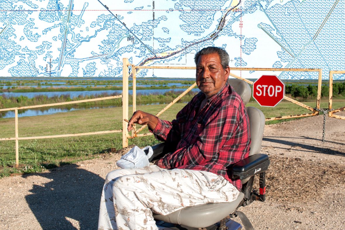
- Where the Isle de Jean Charles Road meets the Morganza to the Gulf levee, Sidney Gary Verdin, Pointe aux Chenes, Louisiana
-
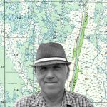
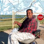
- Joe Verdin, Dulac, Louisiana
-
- The Castle and the Chef Menteur, Irish Bayou, Orleans Parish, Louisiana

-
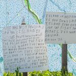
- Island is not for Sale, Yardsign written by Edison Dardar Jr. resident of Isle de Jean Charles, Louisiana
-

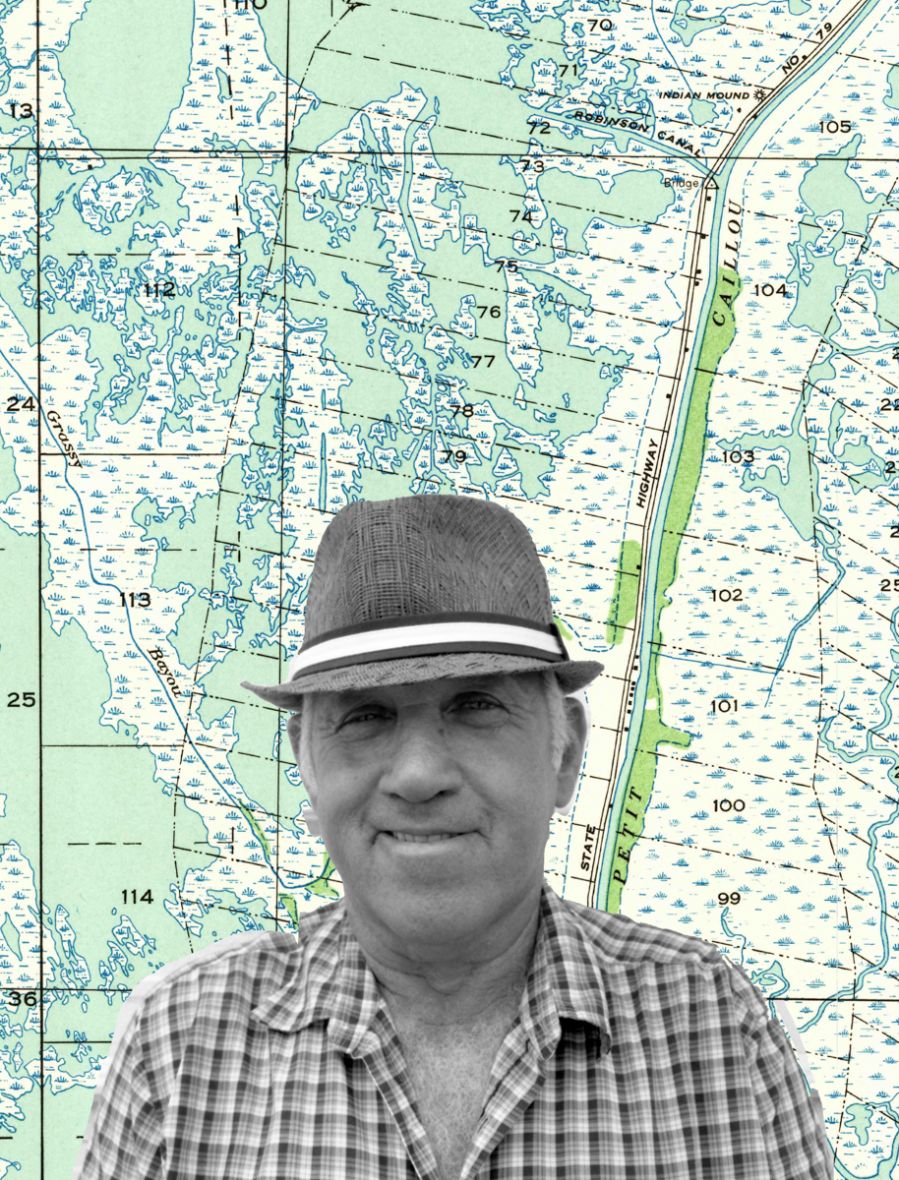
- Vivian Molinere Hotard, Pointe Barre, Louisiana
You have worked so to preserve Louisiana hi