The artist Vincencia Blount, known as Tatty to her friends, created drawings informed by ancient and imagined places.
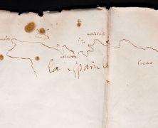
Half-Drawn Hispaniola
The map is small, but it takes up two pages of Columbus’s travel diary, as if he misjudged the proportions when he began and ran over the crease in the binding with some chagrin.
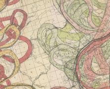
A Cacophony of Time: Harold Fisk’s Mississippi River Maps
Each view of the river, like a photograph, captures only one instant of an endlessly moving waterway. The river is always a memory.
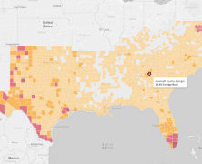
Foreign-Born Populations in the American South
The information presented provides a single snapshot of the foreign-born population.
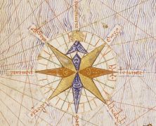
North As Up
There is, of course, nothing inevitable or intrinsically correct—not in geographic, cartographic, or even philosophical terms—about the north being represented as up, because up on a...
“We’ve been lots of places”: Mapping the New Deal
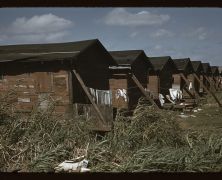
Wolcott’s assignment in Virginia made explicit what her photographs from Starke suggested, that the government was preparing for war.
Ecological Maps of the Heart-Mind for the Grounded Global Southerner
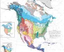
We want to know how Earth has affected us, and we also want to know how we are affecting Earth.
Maps and Legends: A Road Trip with R.E.M.
A Romantic post-bellum South with a buried past, secret stories, and poignant memories; a semi-lost civilization, the only guide to which were faded “Maps and Legends” (Fables).
European Political Agendas Running Amuck in a New World South
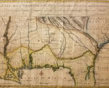
Accuracy was less important than the opportunity maps represented to support the bias and agenda of the cartographer or, more important, the one funding the cartographer.
Of Navigation and Place
Photographer Donna Campbell and I set out in the state’s western mountains with nothing more than a back seat full of novels, poetry, essays, and short story collections.
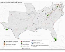
Units of the National Parks System
2016 marks the centennial of the National Park Service (NPS).
The Dual Citizen Experience
Maps matter. And they are both shaped by humans and are shaping humans.
“The virtue of maps, they show what can be done with limited space, they foresee that everything can happen therein.”
– José Saramago, The Stone Raft
In the summer issue of South Writ Large, contributors explore maps and mapping—literal, metaphoric, and imaginary. They invite you to consider the complex meanings of maps. As historical documents or as practical tools of way-finding, as illustrations of lost worlds, both real and imagined, maps both show us the way forward and also remind us of how we once viewed the world. Though we like to imagine that our world is fixed, maps are ultimately representations of a world in constant flux.


